Suchen Menu

Das Wetter stündlich in Rottnest Island

Dieses Diagramm zeigt die Temperatur für die kommenden 48 Stunden in Rottnest Island, angezeigt in Grad Celsius.

Temperatur pro Stunde für die kommenden 48 Stunden in Rottnest Island

Swipe Scroll, um alle Tage zu sehen

Schau dir die 10-Tage-Wettervorhersage für Rottnest Island an

Précipitations par heure à Rottnest Island

Ce graphique montre les précipitations pour les 48 prochaines heures à Rottnest Island, mesurées en millimètres.

Un graphique des précipitations par heure pour les 48 prochaines heures à Rottnest Island.

Swipe Scroll, um alle Tage zu sehen

UV-Index pro Stunde in Rottnest Island

Diese Grafik zeigt den UV-Index für die nächsten 48 Stunden in Rottnest Island.

UV-Index pro Stunde für die nächsten 48 Stunden in Rottnest Island

Swipe Scroll, um alle Tage zu sehen

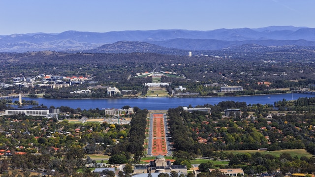
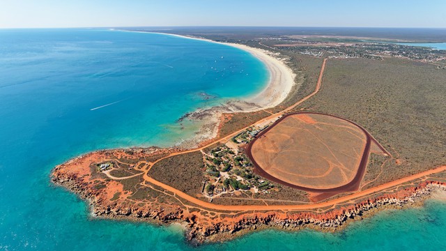
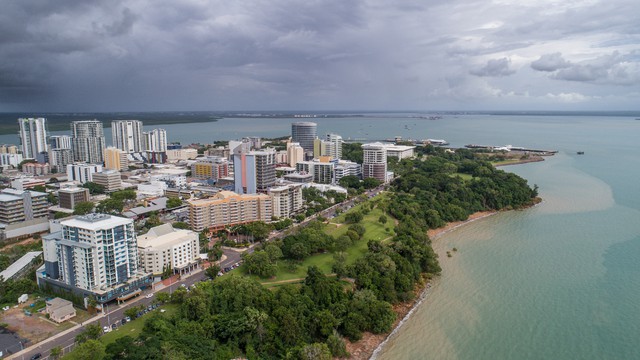
Beliebte Reiseziele in Australien

Entdecke das Klima dieser beliebten Reiseziele in Australien.

Freitag
wetter
max/min
niederschlag
wind
uv
15:00
clear-day
23°
0,0 mm
NW 5
5
16:00
clear-day
23°
0,0 mm
NW 5
3
17:00
clear-day
23°
0,0 mm
NW 5
2
18:00
clear-night
23°
0,0 mm
NW 5
0
19:00
clear-night
23°
0,0 mm
NW 5
0
20:00
clear-night
23°
0,1 mm
NW 5
0
21:00
showers-night
23°
0,3 mm
NW 5
0
22:00
showers-night
23°
0,5 mm
W 5
0
23:00
partly-cloudy-night
23°
0,1 mm
W 5
0
Samstag
wetter
max/min
niederschlag
wind
uv
00:00
partly-cloudy-night
22°
0,1 mm
W 5
0
01:00
partly-cloudy-night
22°
0,0 mm
W 5
0
02:00
showers-night
22°
0,5 mm
W 6
0
03:00
showers-night
22°
0,6 mm
W 5
0
04:00
rain
22°
0,5 mm
W 6
0
05:00
rain
22°
0,2 mm
W 6
0
06:00
partly-cloudy-night
21°
0,0 mm
W 6
0
07:00
partly-cloudy-day
21°
0,0 mm
W 6
0
08:00
partly-cloudy-day
21°
0,0 mm
W 5
1
09:00
partly-cloudy-day
21°
0,0 mm
W 5
3
10:00
showers-day
20°
0,3 mm
ZW 5
4
11:00
rain
21°
0,2 mm
ZW 5
4
12:00
cloudy
21°
0,1 mm
ZW 5
2
13:00
cloudy
20°
0,0 mm
ZW 5
2
14:00
cloudy
20°
0,0 mm
ZW 5
1
15:00
cloudy
20°
0,0 mm
ZW 5
2
16:00
cloudy
20°
0,0 mm
ZW 5
1
17:00
cloudy
20°
0,1 mm
ZW 4
0
18:00
cloudy
19°
0,0 mm
ZW 4
0
19:00
cloudy
19°
0,0 mm
ZW 4
0
20:00
cloudy
19°
0,1 mm
ZW 4
0
21:00
cloudy
19°
0,1 mm
ZW 4
0
22:00
cloudy
19°
0,1 mm
ZW 4
0
23:00
partly-cloudy-night
19°
0,0 mm
ZW 4
0
Sonntag
wetter
max/min
niederschlag
wind
uv
00:00
cloudy
19°
0,1 mm
ZW 4
0
01:00
cloudy
19°
0,1 mm
ZW 4
0
02:00
cloudy
19°
0,0 mm
ZW 4
0
03:00
cloudy
19°
0,0 mm
ZW 4
0
04:00
rain
19°
0,2 mm
ZW 4
0
05:00
cloudy
19°
0,0 mm
W 4
0
06:00
cloudy
19°
0,1 mm
W 4
0
07:00
partly-cloudy-day
19°
0,0 mm
W 4
0
08:00
partly-cloudy-day
19°
0,1 mm
W 4
0
09:00
cloudy
19°
0,1 mm
W 4
2
10:00
cloudy
19°
0,0 mm
W 4
1
11:00
cloudy
19°
0,1 mm
W 4
2
12:00
cloudy
19°
0,1 mm
W 4
3
13:00
clear-day
20°
0,0 mm
W 4
3
14:00
partly-cloudy-day
20°
0,0 mm
W 4
6

Das durchschnittliche Wetter in Rottnest Island pro Monat

Klicke auf einen Monat unten, um im Detail zu sehen, wie das Wetter normalerweise in Rottnest Island ist und was du erwarten kannst. Basierend auf den historischen Wetterdaten von Rottnest Island kannst du für jeden Tag des Monats die durchschnittliche Temperatur, den Niederschlag, den Wind und den UV-Index einsehen.


Oder schau dir das Klima von Rottnest Island für alle Monate an

Terug naar boven